GPS collars on 99 jaguars reveal new wildlife corridors from Mexico to Argentina
A WCS-led study used more than 134,000 GPS locations from 99 jaguars to map the corridors that connect their populations across the Americas. It found new pathways, warned that some old ones may be lost, and showed many lie outside protected areas.
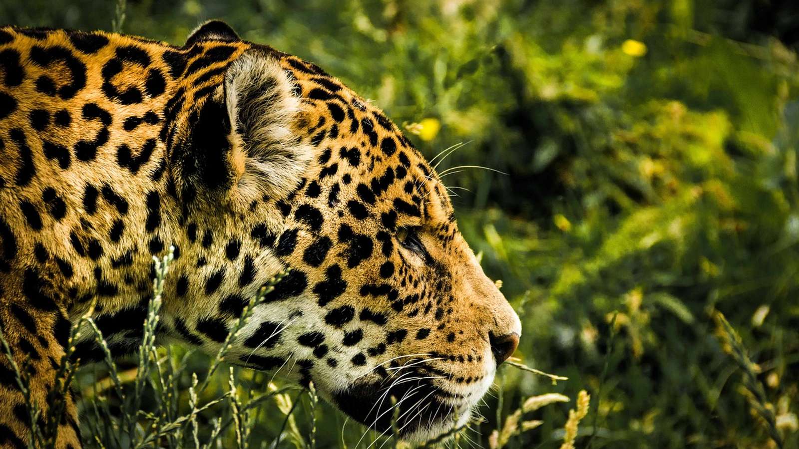
Scientists have mapped the corridors jaguars use to move between populations from Mexico to Argentina, using more than 134,000 GPS locations from 99 adult jaguars collared in five countries, the Wildlife Conservation Society (WCS) said on 15 October. The study, published in Ecosphere, is the first range-wide assessment of jaguar connectivity based on the animals' actual movements rather than expert opinion alone.
“Connectivity is fundamental to the long-term survival of jaguars.” — Harshad Karandikar, WCS conservationist and lead author
A corridor from Bolivia to northern Argentina
The researchers found major connectivity zones across Central America, the Amazon Basin and southern South America. One of the most important runs from northern Bolivia through the Pantanal and the Paraguay River region into Paraguay and northern Argentina. The map also highlights the Bi-National Corridor between Honduras and Guatemala, the Amazon-Pantanal Corridor in Brazil and Colombia's A2O Corridor, which the authors say still needs checking on the ground.
Some of the corridors match earlier conservation priorities, while others are new. In parts of Central America the study suggests fresh connections, but it also shows places where older corridor ideas may no longer fit today's landscape, and where historically important links may already be gone.
Why isolated jaguars are in trouble
Habitat loss, fragmentation, new roads and other infrastructure, and conflict with people have driven jaguars out of more than half of their historic range over the past century, according to WCS. Corridors let animals disperse, recolonize empty habitat and keep genetic diversity up, which matters more as the climate changes.
A separate study published in June reached a similar picture from a larger data set. Using GPS data from 172 collared jaguars, researchers found a connected landscape of about 6.5 million square kilometers spanning 11 countries, but warned that populations in Mexico and Central America are split by gaps and that jaguars in Brazil's Atlantic Forest appear almost entirely cut off, the University of Southern Denmark reported.
Protecting core areas still matters. In Bolivia, a new reserve now covers 715,000 acres of jaguar habitat.
Many corridors lie outside protected areas
The authors stress that many of the corridors they identified lie outside protected areas, so keeping them open will depend on land-use planning, habitat restoration and other conservation measures on private and community land. “The real test is what happens on the ground,” said co-author Robin Naidoo, lead scientist at WWF-US.
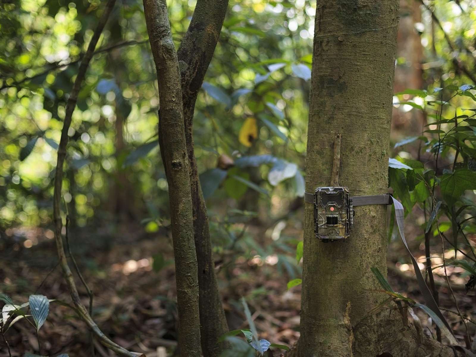
The next step is to confirm which corridors jaguars really use, with camera traps, genetic analyses, environmental DNA surveys and local knowledge. The findings are meant to feed into international efforts to reconnect jaguar populations across their range.
Sources
- Wildlife Conservation Society (WCS) · newsroom.wcs.org
- sdu.dk
How we choose and verify sources: editorial policy.
Your weekly dose of good news
The 5 biggest positive stories of the week, straight to your inbox. Free, no noise.
Like what you're reading?